
Abstract
Public commuting in the Philippines remains difficult to digitize because transportation data is fragmented, incomplete, and poorly maintained. While navigation apps like Google Maps are useful for private vehicles, they often fail to provide reliable public commute routes involving jeepneys, UV Express vans, tricycles, buses, ferries, and informal terminals. This paper-style essay examines the challenges faced by mobile and web developers who attempt to build public transportation apps in the Philippines. The main barriers include the lack of a national public transportation API, limited OpenStreetMap manpower, weak government collaboration, unvalidated crowdsourced data, the complexity of jeepney routing, the archipelagic geography of the country, and the low priority given to deep digital transformation. It also briefly discusses Sakay.ph and a personal comparison with Naver Map in South Korea to show that better commuting technology is possible when transport data and digital infrastructure work together.
1. Introduction
Google Maps is helpful in the Philippines when the user is driving. It can show road routes, estimate travel time, suggest alternatives, and help private vehicle users move around more efficiently.
Public commuting is different.
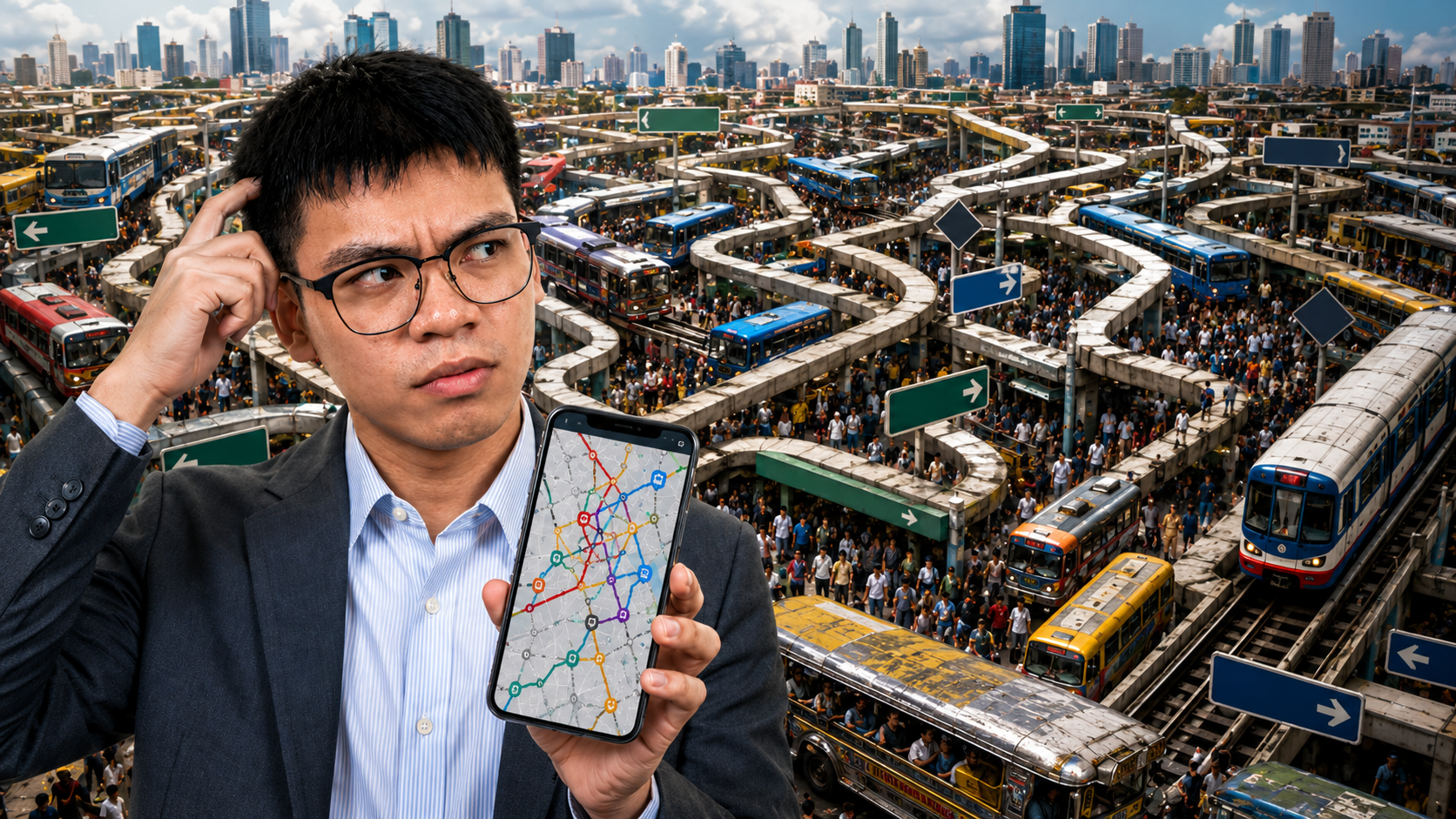
When a user searches for a public transportation route, the result is often incomplete or empty. This does not mean public transportation does not exist. Jeepneys, buses, UV Express vans, tricycles, ferries, and multicabs operate every day across the country. The problem is that many of these systems are not properly represented in digital form.
For developers, this creates a major challenge. Building a public commuting app in the Philippines is not only a software problem. It is a data problem, a governance problem, a mapping problem, and a public infrastructure problem.
2. Problem Statement
The central issue is simple:
The Philippines has public transportation in real life, but not enough reliable public transportation data in digital form.
A developer cannot build an accurate commuting app without knowing:
- where routes start and end,
- where passengers can board,
- where passengers should get off,
- which vehicles serve which roads,
- what signboards commuters should look for,
- how much fares cost,
- whether routes are still active,
- and whether data has been officially validated.
Without this information, an app cannot confidently guide commuters.
This is why public commuting apps in the Philippines often feel unreliable. The problem is not always poor programming. In many cases, the missing foundation is accurate, official, and accessible transport data.
3. The Absence of a Public Transportation API
A major barrier is the lack of a complete, official, developer-friendly public transportation API for the Philippines.
A proper API could provide structured data for:
- jeepney routes,
- bus routes,
- UV Express routes,
- train lines,
- ferry routes,
- terminals,
- stops,
- fares,
- schedules,
- service alerts,
- and route changes.
Instead, developers often have to rely on scattered sources: PDFs, memoranda, public announcements, Facebook posts, community reports, OpenStreetMap data, and manual fieldwork.
This makes development expensive and difficult. A developer is forced to become a mapper, researcher, data encoder, route validator, and customer support team all at once.
A public commuting app should be built on top of reliable transport data. In the Philippines, the developer often has to create that data first.
4. The Limits of OpenStreetMap
OpenStreetMap is one of the most useful tools for developers in the Philippines. It provides open map data and allows communities to contribute roads, buildings, terminals, transport features, and routes.
However, OpenStreetMap is crowdsourced. Its quality depends on the number and activity of contributors.
Some areas are well mapped. Others are incomplete. Some routes may be outdated. Some terminals may be missing. Some transport data may not be verified.
This creates a reliability issue. If a public commuting app depends heavily on OpenStreetMap, then the app is only as strong as the local mapping community behind it.
The OpenStreetMap Philippines community is valuable, but it cannot be expected to map and maintain the entire country’s public transportation system alone.
5. Lack of Official Validation
Crowdsourced data needs validation.
A commuter may report a route. A mapper may add it. A developer may use it. But who confirms that it is accurate?
This is where government agencies and LGUs should play a role.
Public commuting data should involve collaboration among:
- LGUs,
- LTFRB,
- LTO,
- DOTr,
- MMDA,
- local traffic offices,
- transport cooperatives,
- and mapping communities.
Unfortunately, this collaboration is often weak or difficult to access. Data may exist, but it may not be open, structured, updated, or available through an API.
This creates a trust problem. Apps may show routes based on community data, but without official validation, users cannot always know whether the information is current or correct.
6. Jeepney Routes Are Difficult to Model
Jeepneys are central to Filipino commuting, but they are difficult to encode into software.
Many jeepney routes are described using simple signboards such as:
- Cubao–Quiapo,
- Baclaran–Divisoria,
- Pasig–Quiapo,
- Alabang–Zapote,
- Fairview–Dahlia.
To a commuter, this may be understandable. To software, it is incomplete.
An app needs to know the exact origin, destination, route geometry, boarding points, transfer areas, fare structure, and route direction.
A common problem is that jeepney routes are often treated as “vice-versa.” If a route goes from A to B, people may assume it also goes from B to A using the same path. In reality, return routes may differ because of one-way streets, traffic schemes, local rules, or terminal arrangements.
This makes automatic route generation risky. A wrong assumption can send users to the wrong side of the road or make them wait for a vehicle that will never pass.
7. Terminals and Boarding Points Are Poorly Documented
A public commuting app must answer one of the most important commuter questions:
Where exactly do I ride?
This is harder than it sounds.
A jeepney route may be known by its destination, but the actual boarding point may be informal, hidden, temporary, or known only to locals. It may be beside a mall, under a station, near a market, along a road, or in a terminal that is not properly mapped.
A route without a clear boarding point is not useful.
Saying “ride a jeepney to Quiapo” is not enough. The user needs to know where to stand, which side of the road to wait on, and what signboard to look for.
This is one of the reasons public commuting apps struggle. The route may exist, but the access point is missing.
8. The Archipelago Problem
The Philippines is an archipelago, which makes nationwide public commuting data even harder to build.
Metro Manila alone is already complex. But a national commuting app would also need to understand transportation systems in Cebu, Davao, Iloilo, Bacolod, Baguio, Cagayan de Oro, Zamboanga, Tacloban, Puerto Princesa, and many smaller cities and municipalities.
Each area has its own commuting culture.
Some places rely heavily on jeepneys. Others rely on tricycles, multicabs, vans, buses, ferries, or boats. Some terminals are formal. Others are informal. Some routes are known through landmarks rather than official names.
For private vehicles, a road map may be enough.
For public commuting, local knowledge is essential.
This makes nationwide scaling extremely difficult without local contributors and official government support.
9. Sakay.ph as a Local Case
Sakay.ph is one of the few public commuting apps in the Philippines that became widely known, especially in Metro Manila. It stood out because it attempted to solve a real commuter problem that Google Maps often failed to address.
However, for many users, the app has become frustrating.
Common complaints include:
- too many ads,
- poor user experience,
- unappealing interface design,
- crowdsourced data that may feel unreliable,
- limited customer support,
- and unclear feedback loops.
This matters because a public commuting app is not used casually. People open it when they are trying to get somewhere. They may be tired, late, confused, low on battery, or standing under the sun.
In that situation, bad UX is not just inconvenient. It affects trust.
Sakay.ph proves that there is demand for a Philippine commuting app. But it also shows that public transport apps cannot survive on crowdsourced data and ads alone. They need reliable data, strong design, active support, and sustainable maintenance.
10. A Brief Comparison: Naver Map in South Korea
A personal trip to South Korea showed what is possible when public transportation data and digital infrastructure are mature.
As a tourist, I heavily depended on Naver Map for commuting. I did not know the country’s train lines, bus routes, transfer points, station exits, or walking paths. But the app made commuting manageable.
It was accurate, fast, and reliable. It showed routes clearly, explained transfers, and helped me move around with confidence.
This is not to shift the discussion toward South Korea. Rather, it shows that accurate public commuting navigation is possible.
The experience made me hopeful. If a tourist can confidently commute in another country using a well-supported app, then Filipino commuters should also be able to experience that level of reliability in the Philippines.
The Philippines does not necessarily need Naver Map itself. It needs the kind of transport data ecosystem that makes such an app possible.
11. Digital Transformation Is Still Too Shallow
The Philippines often talks about digital transformation, but public transportation data still seems like a low priority.
True digital transformation is not only about websites, online forms, dashboards, or social media announcements.
For public commuting, digital transformation means making transport systems machine-readable.
That means having:
- open transport APIs,
- official route datasets,
- terminal databases,
- fare data,
- service alerts,
- route change logs,
- standardized route IDs,
- and developer documentation.
Without these, developers are forced to build on top of incomplete information.
A country cannot expect world-class commuting apps if the underlying transport data is scattered, outdated, or inaccessible.
12. Recommendations
To improve public commuting apps in the Philippines, the country needs a stronger transport data ecosystem.
12.1 Government Agencies Should Open Transport Data
Agencies such as DOTr, LTFRB, LTO, MMDA, and LGUs should publish structured and regularly updated public transport data.
This should include routes, terminals, stops, fares, service changes, and route validity.
12.2 LGUs Should Validate Local Transport Information
LGUs understand local transport systems better than national agencies alone. They should help validate terminals, loading areas, tricycle zones, local routes, and route changes.
12.3 OpenStreetMap Should Be Supported, Not Overused
OpenStreetMap communities should be treated as partners. However, they should not be expected to replace official government responsibility.
Community mapping is valuable, but it needs institutional support and validation.
12.4 Developers Need Better Data Access
Developers should not have to manually reconstruct public transportation systems from scratch. Public data should be available in formats that apps can easily use.
12.5 User Experience Must Respect Commuters
Public commuting apps should be fast, clear, accessible, and low-friction. Ads should not interfere with route-finding, especially during active navigation.
A good commuting app should quickly answer:
- What do I ride?
- Where do I ride?
- Where do I get off?
- How much will I pay?
- What signboard should I look for?
- When was this route last verified?
13. Conclusion
Building a public commuting app in the Philippines is difficult because the country’s public transportation system is not properly digitized.
The vehicles exist. The routes exist. The commuters exist.
But the data is incomplete.
Developers face major barriers: no complete public transportation API, limited mapping manpower, weak government collaboration, unvalidated crowdsourced data, complex jeepney routes, undocumented terminals, archipelagic geography, and low prioritization of deep digital transformation.
Google Maps may work for private vehicles, but public commuting requires more than road navigation. It requires accurate transport intelligence.
Sakay.ph showed that there is demand for this kind of app, but it also showed how difficult the space is when data, support, funding, and user experience are weak.
My experience with Naver Map in South Korea showed that better commuting navigation is possible. It gave me hope that the Philippines can eventually build something similar — not by copying another country’s app, but by creating the data infrastructure needed for Filipino commuters.
The real solution is not just another app.
The real solution is open, reliable, validated, and accessible public transportation data.
Until then, developers will continue facing the same challenge: trying to build modern commuting apps on top of a transport system that exists in real life, but not yet in reliable digital form.